
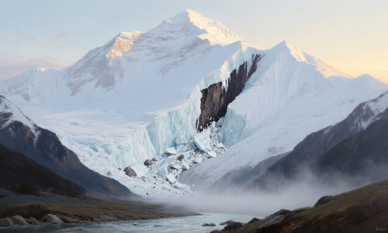
At 2:52 UTC on August 26, a seismometer near the Nepal-China border registered what first looked like a 4.4-magnitude earthquake. It wasn’t one. The US Geological Survey later corrected the record: the shaking hadn’t come from tectonic plates, it came from roughly 2,000 feet of glacier cliff on the north face of Langtang Lirung shearing off and slamming into the valley below. What followed, a mix of ice, rock, sediment, and meltwater cascading nearly 100 kilometers down the Lende and Trishuli rivers, has killed at least 300 people, left over 900 missing, buried towns, severed the only highway between Nepal and China, and damaged six hydropower facilities.
The question everyone reasonably wants answered, was this climate change, human interference, or genuinely bad luck, doesn’t have a clean single-word answer, and the scientists closest to the data are the ones most insistent about that. Climate scientist Zeke Hausfather called formal attribution of this specific collapse to climate change “premature.” Glaciologist Dan Shugar told reporters he’s “100 percent” certain warming raises the odds of events like this happening somewhere in the Himalayas, while stopping short of pinning this exact collapse on it. Landslide specialist Dave Petley, writing days after the disaster, said understanding what actually happened “is going to need an international team,” because ice-rock avalanches involve geology, slope geometry, and timing that resist tidy causal stories.
What isn’t ambiguous is the regional climate trend the collapse happened inside of. Summer temperatures near Langtang have warmed 0.29°C per decade since 1940, and the four summers from 2022 through 2025 all rank among the five warmest in 86 years of record-keeping. July 2026 was the second-warmest July on record; early August broke the record for warmest complete August before the month had even finished. The Langtang catchment’s glacier area has shrunk 42% since 1815, but the pace of that shrinkage has quadrupled, from 0.11% a year in the two centuries before 1964 to 0.49% a year since. The nearest continuously monitored glacier, Yala, has been losing nearly a meter of water-equivalent ice every year since 2012. None of that is modeling or projection. It’s measurement.
That’s the distinction researchers keep drawing, and it’s a genuinely useful one rather than scientific hedging. Nobody can point to a single thermometer reading and say it broke this specific cliff on this specific morning. But permafrost thawing at altitude, glaciers retreating at an accelerating rate, and meltwater infiltrating deeper into rock and ice are precisely the mechanisms that destabilize high mountain slopes, and every one of those mechanisms is documented, quantified, and trending in the same direction across the Hindu Kush Himalaya. The IPCC’s most recent assessment already concluded human influence is “very likely the main driver” of global glacier retreat since the 1990s. Whether that retreat specifically triggered the crack in Langtang Lirung’s north face on August 26 is a narrower, harder question than whether warming made a collapse like it more likely to happen somewhere, sometime, in this range. On that second, bigger question, the field isn’t divided.
Human activity enters the story from a different angle than “did emissions cause this,” and it’s the angle that determined how many people were in the water’s path. A World Bank risk assessment of the region names deforestation, road construction, and infrastructure buildout as factors that intensify flood and landslide damage even when the trigger itself is natural. The Langtang and Trishuli valleys have seen exactly that kind of buildout, hydropower stations, highway construction, growing settlements, all placed in a valley whose glacier-fed rivers were already known to be a hazard corridor after a 2015 earthquake-triggered avalanche killed over 300 people in the same catchment. The mountain didn’t get more dangerous because a road was built beneath it. But the road, and the six hydropower plants, and the villages that grew up around them, meant a natural hazard had far more to destroy than it would have a generation ago.
So: not a freak accident, and not a single climate-caused event either, at least not provably. It’s closer to a hazard that has always existed in these mountains becoming more likely to fire, in a valley that has meanwhile filled up with more people and more infrastructure standing in its path. Whether Langtang Lirung fractures again is unknowable. Whether some glacier somewhere in the Hindu Kush Himalaya does, in a valley that looks a lot like this one, is the question the data already answers, and not reassuringly.
Sources
- Al Jazeera — Nepal-Tibet floods: What is a glacial collapse, how common is it?, August 27 2026
- EarthSky — Nepal flash flood nightmare: What caused it?, August 2026
- The Climate Brink — What we can and cannot say about climate change and the Nepal disaster, August 2026
- CNN — Nepal flooding shows how living downstream from a glacier has become a deadly liability, August 28 2026
- CBS News — Deadly Nepal flood highlights glacier risks in warming Himalayas: “The new normal”
- Wikipedia — 2026 Nepal floods (event details and timeline)